Surroundings
Schiermonnikoog is the smallest inhabited Wadden Sea island of the Netherlands. It has approximately 900 inhabitants. This Frisian island is seventeen kilometers long and four kilometers wide. On the island is a village, which is also called Schiermonnikoog. The island became it’s name with thanks to the first inhabitants: the Cistercian monks, that are dressed in gray cowls. Schier = gray, monnik = monk, oog = island: island of the gray monks.
"Often we hear that the battery is completely full again after a few days of Schiermonnikoog"
Jan Soepboer
Huge beaches
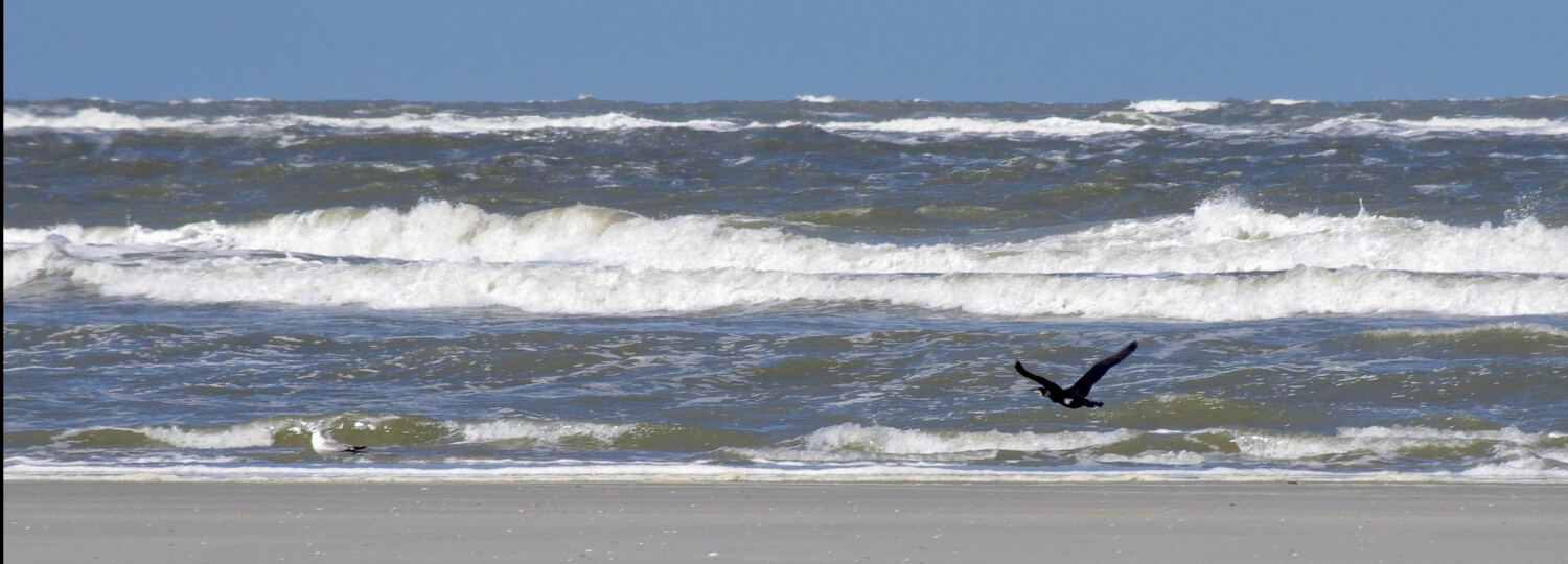
The beaches of Schiermonnikoog belong to the widest beaches of Europe. There is enough space for everybody to make his own beach activities, like flying a kite, swimming and sunbathing. At the most beach entrances are standing boards, where you clearly can read what is allowed and prohibited to do on this particular part of the beach. At the end of “Prins Bernhardweg” is a supervised beach, where you can swim under the watchful eyes of the lifeguards. The beach at the end of “Badweg” is an activity beach, where you can do everything you can think of, such as flying a kite and kite surfing.
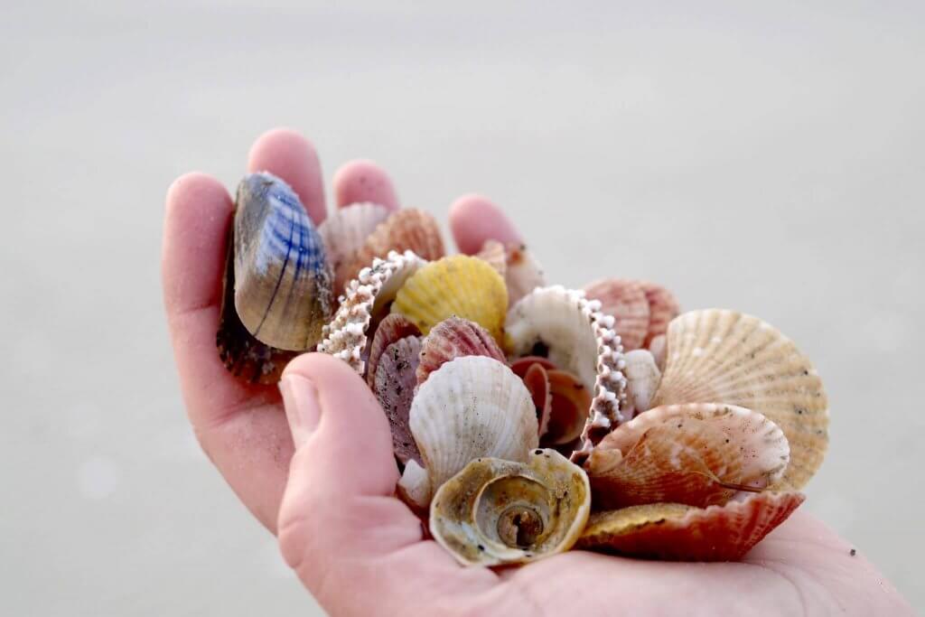
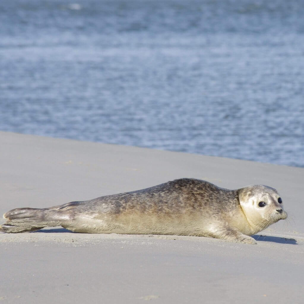
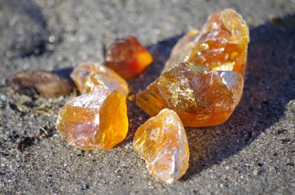
The wide sand plate at the eastern point of the island is called “de Balg”. It is surely worthwhile to visit this special point, where you will think, that you are the only person on earth. This you either can do by walking or with the “Balg Expres” (booking through the Visitor’s Centre). On “de Balg” you have a big possibility to see seals. And if you search well, you might find some big shells or even a piece of Amber.
Flora en Fauna
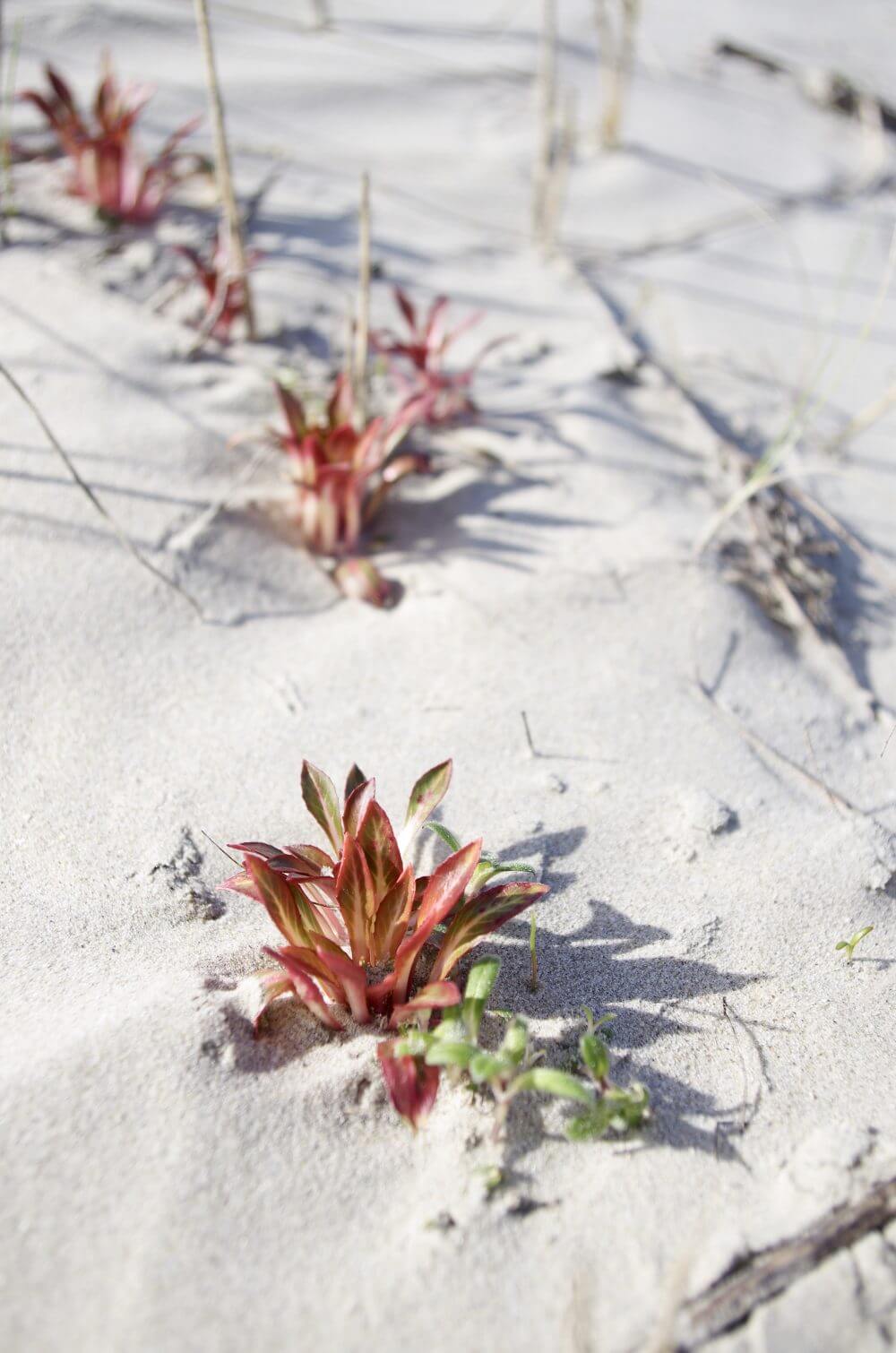
Schiermonnikoog is a National Park. Half of the plants and flowers that can be found in the Netherlands you can find here. The nature is very versatile: here you can find dunes, beach, forests, mud flats and polder. Schiermonnikoog is also known as a bird island. Even in the touristic high season here reside more birds than men. At “Westerplas” is a bird hide, where you can admire birds in their natural environment.
Bicycling & hiking
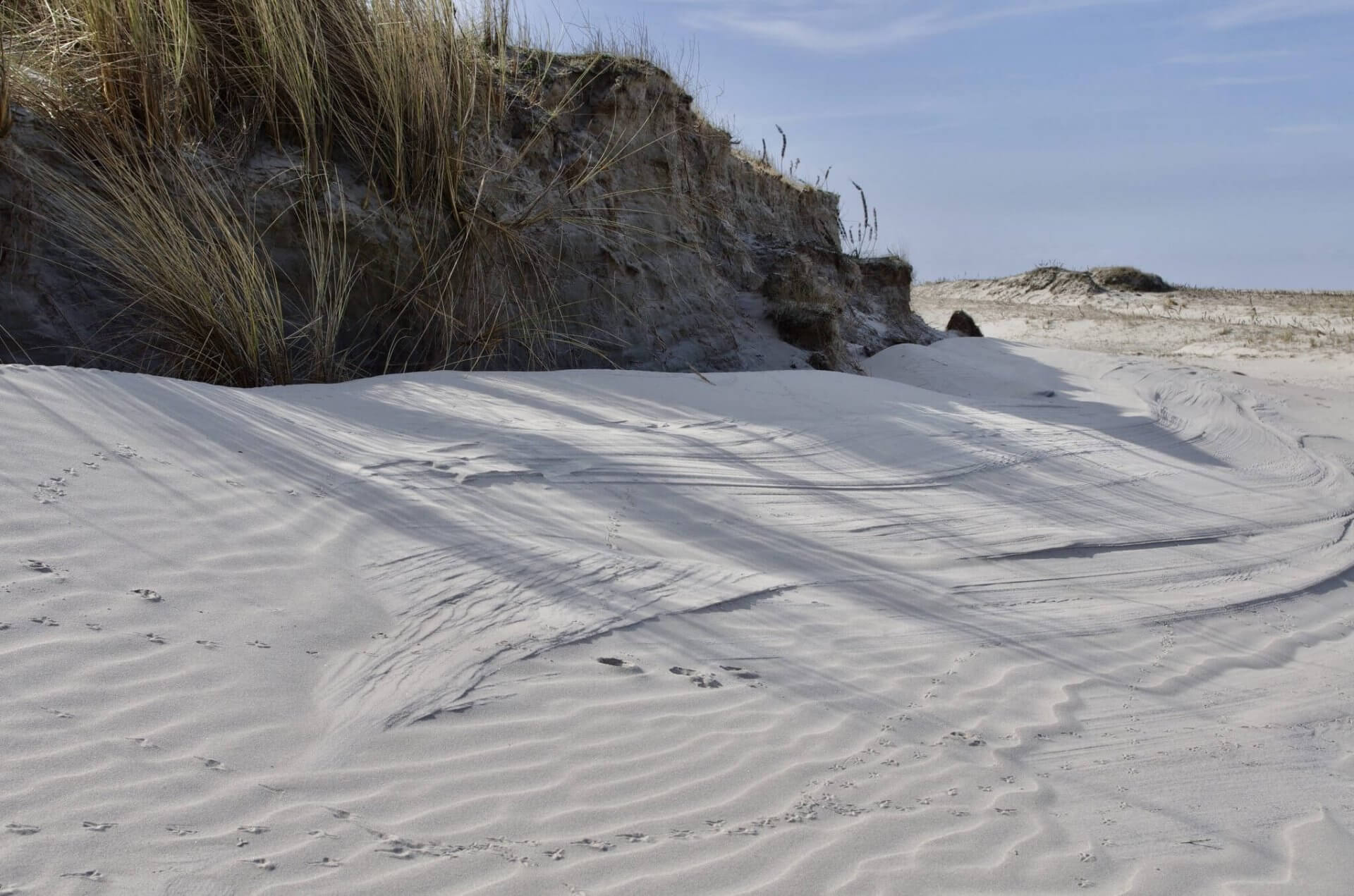
Is is not allowed to take the car with you to Schiermonnikoog. You can park it near the ferry at Lauwersoog. Schiermonnikoog is an ideal bicycling and hiking island. There are shell paths through the beautiful dune landscape, the forests and the salt-marsh.
Would you like to rent a bicycle on Schiermonnikoog and explore the cycle paths? Then there are two bicycle rental companies on the island, here you can go for all types of bicycles.
Bicycle and hiking maps you can buy at the tourist information (VVV).
Total relaxation
On Schiermonnikoog you can still find the real tranquility and silence. The car is left behind on Lauwersoog, you discover the compact island by foot or with the bicycle. You can still “hear” the silence when you go into nature.
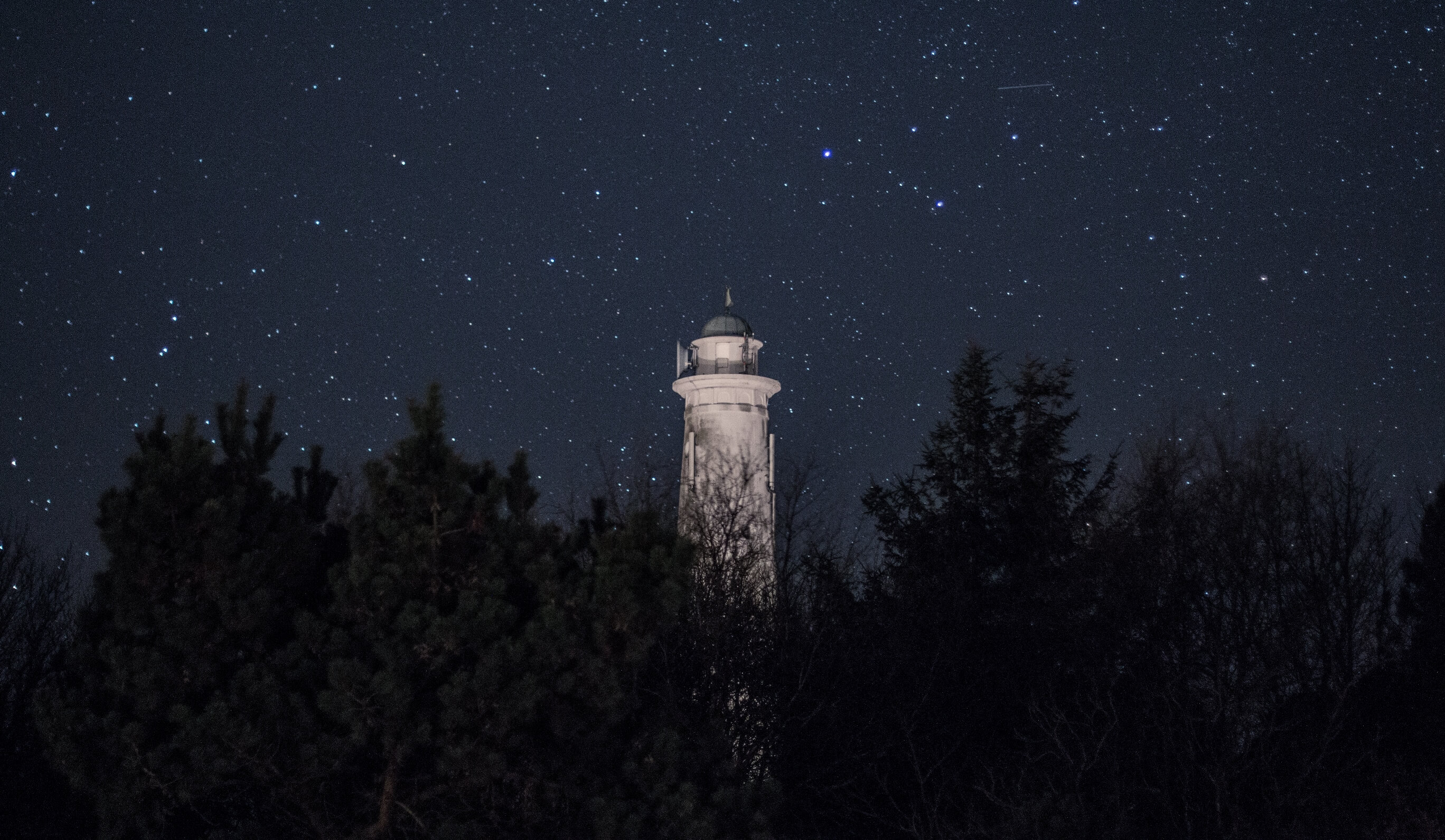
The starry sky is nowhere else so beautiful as on Schiermonnikoog: one of the darkest places of the Netherlands. No light pollution but a real black night with the Milky Way and millions of sparkling stars, which make you fall silent.
Prachtig van noord tot zuid
Middle
The middle of Schiermonnikoog makes you sometimes forget that you are on an island. Only the sound of the sea makes you realize that you are. The two most well-known places in the middle of Schiermonnikoog are without a doubt the pine forest and the bunker “Wasserman”. “The pine forest is almost completely covered by hiking and biking trails that will lead you to the most beautiful places that the middle of Schiermonnikoog has to offer. “Natuurmonumenten” has different routes (only in Dutch) compiled, that we can recommend to you.
One of the routes in the middle of Schiermonnikoog, that is often forgotten, is the “Oude Reddingsweg”. The “Oude Reddingsweg” is easily reached when you walk east from the bunker “Wasserman”. At the beginning of this route is the resting place “Vredenhof”. Hidden within the dunes and surrounded by pine trees. A really special place. Here 106 drowned persons and victims of the First and Second World War are buried.
When you are walking further east from “Vredenhof”, you will arrive after a while on the path “Oude Reddingspad”. On this path, that goes through the forest and dunes, you can encounter wild Soay sheep and Sayaguesa cattle, that roam freely in this part of the island. When you continue on the path until the end, you will arrive after a while at the beach. From this point it is only a couple of minutes walk to the beach pavilion “de Marlijn”, where you can rest after the walk and have something to drink.
Midden Schiermonnikoog laat je soms vergeten dat je je op een eiland bevindt. Enkel het geluid van de zee laat je weten dat dit toch wel echt het geval is. De twee bekendste plekken op Midden Schiermonnikoog zijn zonder twijfel het dennenbos en de Wasserman Bunker. Het dennenbos is vrijwel geheel voorzien van wandel- en fietspaden, die je naar de mooiste plekken van Midden Schiermonnikoog brengen. Natuurmonumenten heeft verschillende routes gemaakt, die wij je zeker kunnen aanbevelen.
Één van de routes van Midden Schiermonnikoog die vaak wordt vergeten, is de Oude Reddingsweg. De Oude Reddingsweg is goed te bereiken door vanaf de Wasserman Bunker verder oostwaarts te wandelen. Aan het begin van deze route vind je de rustplaats het ‘Vredenhof”. Verscholen in het groen en omringt door dennenbomen. Een erg bijzondere plek. Hier liggen 106 drenkelingen en slachtoffers uit de Eerste en Tweede Wereldoorlog begraven.
Wanneer je vanaf het Vredenhof verder oostwaards wandelt kom je op den duur uit op het Oude Reddingspad. Aan dit pad, dat door het bos en de duinen loopt, kun je wilde Soayschapen en Sayaguesarunderen tegenkomen die vrij rond lopen aan deze kant van het eiland. Wanneer je dit pad uitloopt, zul je op den duur het strand bereiken. Vanaf daar is het nog enkele minuten lopen tot strandpaviljoen de Marlijn, waar je onder het genot van een hapje en een drankje kunt bijkomen van je wandeling.
Oost
The east side of the island Schiermonnikoog is characterized by the rough landscape. You will find here a vast salt marsh area with rifts, special plants, breading ground of many rare birds and in the summer even cows that roam here freely. Furthermore is the east side of the island also the place where you will find the beacon.
Through a large part of the salt marshes there are bicycle paths constructed. The most well known bicycle path that you can follow to admire how multifaceted the area is, you will find underneath this link. This route you can also just walk if you are fanatic hiker!
West
On the west side of the island you will find the biggest fresh water pool of the island; the “Westerplas”. This fresh water pool came about halfway the last century when the salt-marshes where disconnected on this side of the island. Just since shortly there is a bird watch hut at the pool. From this viewpoint, that is standing in the water, you can see the whole pool where a lot of birds are breeding.
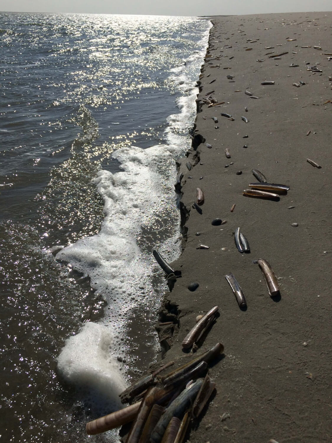
On the west side of the island you will find big beaches. The beaches here are the more quiet places on the island. The sea is more difficult to reach from here because of mud formation, but the view is breathtaking. With nice weather you can see the neighboring Wadden Sea island Ameland.
Noord
The north side of the island is one of the more visited places on the island. Here you will find vast beaches, beach pavilions and the dune landscape. On one of the dunes the lighthouse was built in 1853. The lighthouse can be reached easily on foot or by bicycle. From the dune, where the lighthouse was built on, you have the view over the North Sea and a big part of the island.
Another special place on the north side of the island is the beach at pole 6 at beach pavilion “de Marlijn”. From this beach you can easily reach the sea and during the spring and summer months there is a lot of swimming done here and a lot of beach activities.
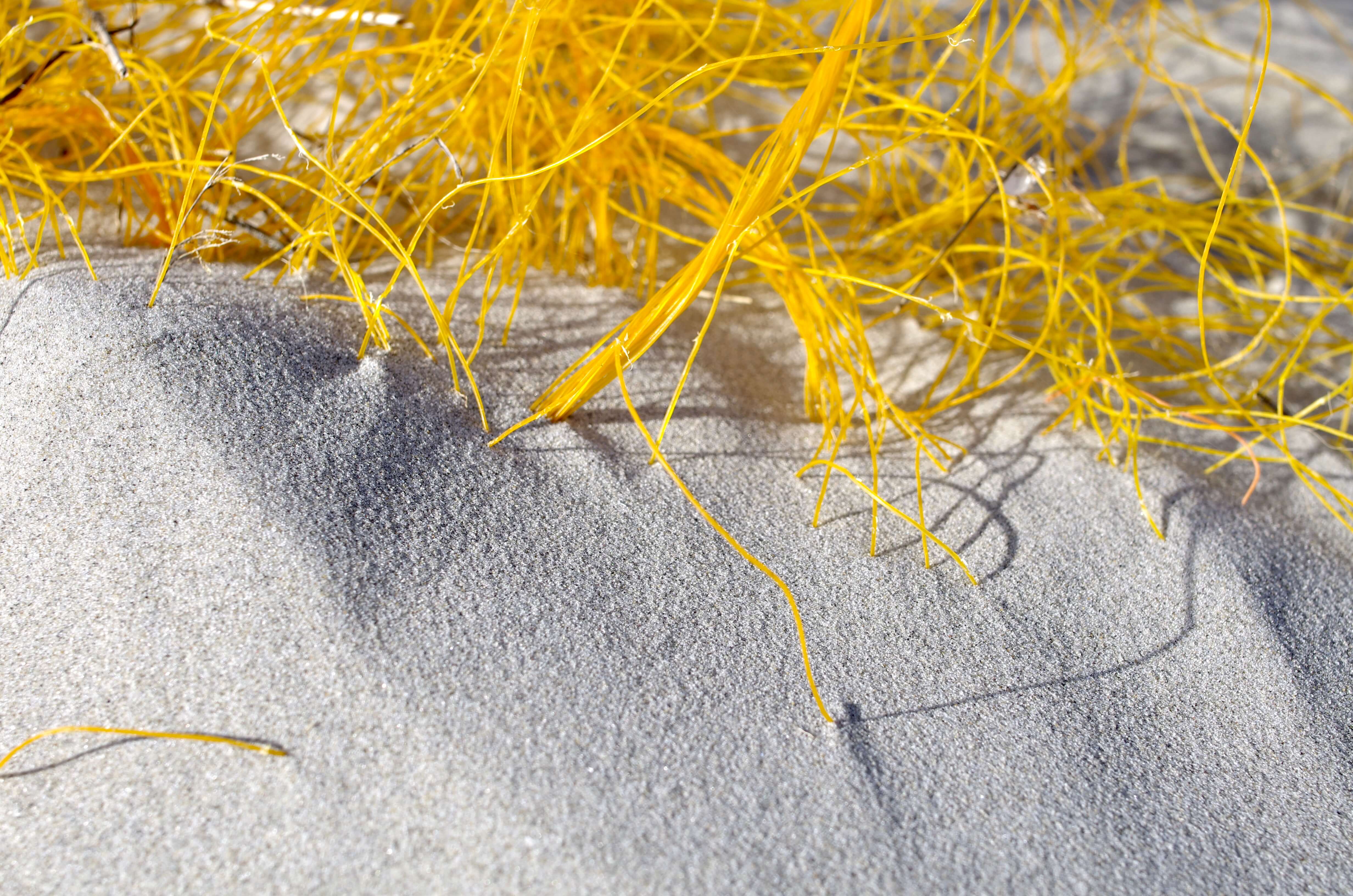
The last special place, that should be included in this list, are the wide shifting dunes north of the village. Some of the dunes have deep valleys, where you can enjoy the wind shadow when the wind is blowing hard. Also the shifting dunes can be easily reached by bicycle. Although climbing the dunes should rather be done on foot.
Zuid
The south side of the island is mostly forgotten by our visitors after they have arrived to the island. Although the south side also has a lot of special places. One of which is the WadAnderz, that is crowded with yachts during the spring and summer months. The marina is only a 10 minute walk from the center of the village.
To get to the marina you have to cross the sea dyke, which protects a big part of the south side of the island from the sea. From the sea dyke you can make a lot of beautiful walks to the south and west. When you go west on the dyke, you will eventually reach the old dyke. Until recently this dyke protected a big part of the village from the sea. From the old sea dyke you can see a big part of the “Westerplas”.
